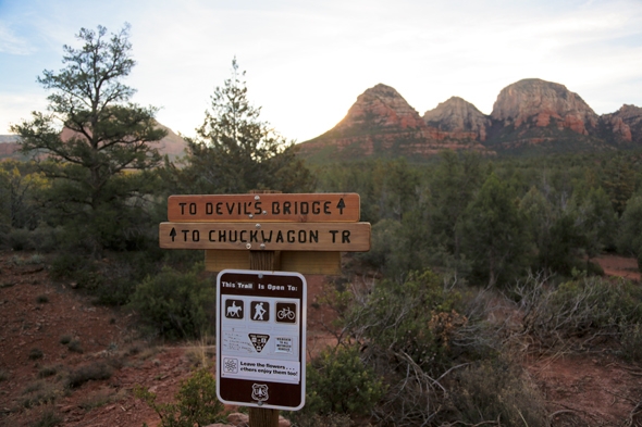
20 Mar Hiking the Devil’s Bridge Trail in Sedona, AZ
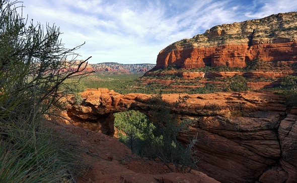
Starting off shortly after sunrise was one of the best decisions we could have made; not only because it was a break from the afternoon sun, but because it provided us with the solitude of nature that we were desperately craving. We were fortunate to see only three other individuals on our 1.5 hour hike out to the Devil’s Bridge. At times, the trail was a bit difficult to follow and we felt as though we may have made a wrong turn, but thankfully we navigated well and arrived at the arch with no one in sight. It was a magical moment as we stood in awe soaking in the powerful scenery that surrounded us. Standing at the sandstone arch and gazing at the miles of beautiful green trees with a backdrop of the Red Rocks, was a moment of raw beauty that will be forever etched in my mind.
Sedona was overrun with visitors the weekend we visited as it was Valentine’s Day and a holiday weekend where all the Red Rocks parks had free parking. The short hikes we ventured on the previous day were a far cry from a peaceful break in nature. Don’t get me wrong, the scenery was beautiful, but the views just weren’t what I had envisioned; they overlooked a bustling town, overflowing parking lots and people were scattered everywhere. It was a tad overwhelming, especially after coming from a peaceful mid-week winter visit to the Grand Canyon. So, the early morning hike to Devil’s Bridge was the perfect antidote we were searching for.
Depending on your vehicle capabilities, you can go on a short hike or a longer trail to the arch. To park at the closest trailhead, you will need a larger 4-wheel drive vehicle–our midsize car rental definitely wouldn’t have cut it. The last bit of the road leading to the trailhead is very washed out with huge pot holes.
If you can’t make it to the trailhead, one option is to park in the lot near the turnoff to the trailhead and walk alongside the road–this option will be about 2 miles round trip to the arch and back. On our return hike, we saw many people walking from this direction, and while it’s shorter than the path we took, you have to deal with jeeps driving by and engulfing you in clouds of red dust.
The second option is to park at the Chuckwagon Trail Head near the Mesca Trail parking area and hike through to the connecting trail for the Devil’s Bridge Trail. This trail eventually emerges near the parking lot and bumpy road, and in my opinion, this trail appeared to be a much more scenic route. Round trip, you are looking at around 4 miles of hiking if you opt for this path.

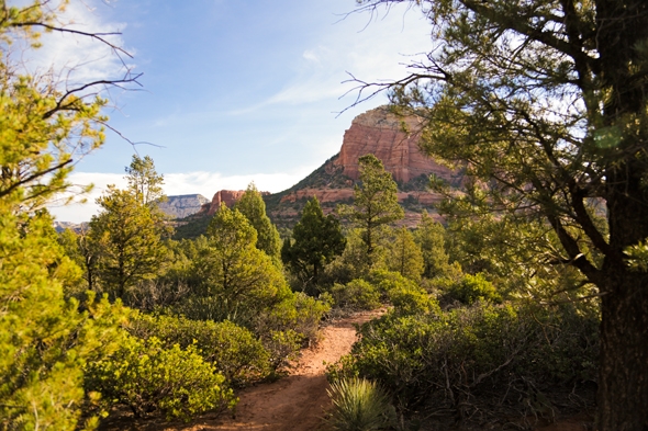
Our hike started out in more of a woodsy area–we walked along the paths in the shade of the trees, up and down small inclines and across dried out riverbeds. If you follow the cairns of rocks, you shouldn’t have much of a problem navigating the trail, but there were about three areas where the trail wasn’t clearly marked and it was a bit difficult to determine which was the correct trail. The first riverbed we approached required going straight ahead, while the path turned right along the side of what appeared to be a second riverbed that we happened upon.
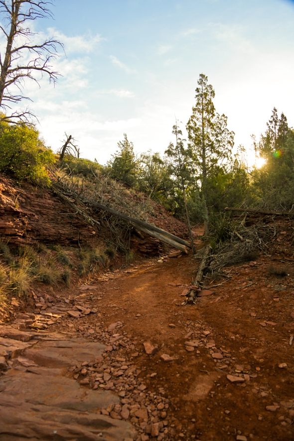
The next spot that confused us was not far after the second riverbed–the path split and one led up to the left while the other led towards the right into an area of more trees. It was here that we debated for a few minutes which path we should take. Fortunately, we chose the path to the left, and it was correct. This area of the trail was more desolate and open to the elements; we were glad it was still early morning as the afternoon sun would have been brutal along this part of the hike.
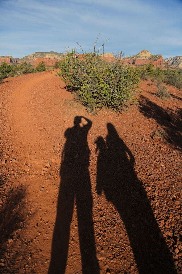
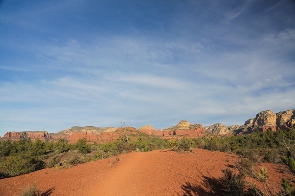
Soon enough, we were reassured with a sign that we were on the correct trail and a little celebration ensued! The next part of the hike was easy to navigate until you got closer to approaching the arch. You basically just follow the trail until you have to start climbing a rock staircase that conveniently leads up the rocks to the arch. At one point, there is a portion of rocks that require you to practically climb up, but it’s not very challenging, so that shouldn’t be a deterrent. Once you finally make it to the top of the rock, you will get the view you were hiking out to see.
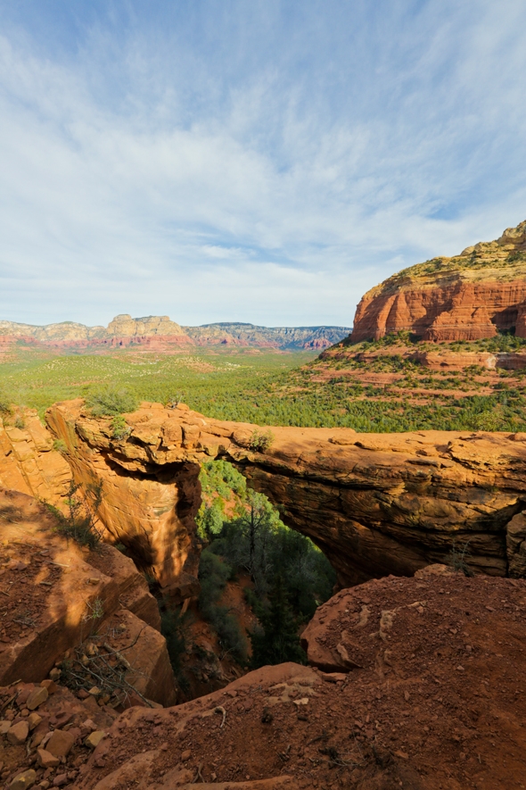
The Devil’s Bridge is the largest natural arch in the area of Sedona–it stands 54 feet tall, is 5 feet across and about 45 feet long. Walking out over the arch will get your nerves racing, but once you venture out over the arch, it’s not quite as scary as it looks, so of course we had to stop for a few photos!
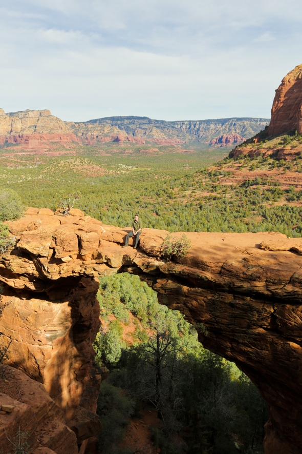
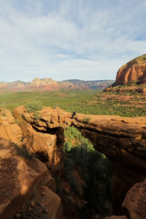
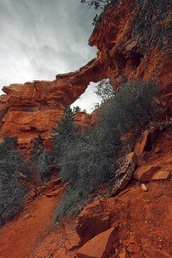
After you soak in the sweeping views from the top, you can also head down and get a view of the arch from below. If you head back down the rocks and veer off to the right, you will find the short path that leads underneath the bridge. The views are gorgeous and it gives you a sense of how high the arch really is.
On our hike back to the car, we were inundated by people–there were hoards of hikers heading out to the arch. I can tell you one thing for sure, we wouldn’t have enjoyed the journey near as much if we started out mid-morning; it would have not been the peaceful exploration for which we were longing. So, make sure to start early and bring plenty of water and snacks!

